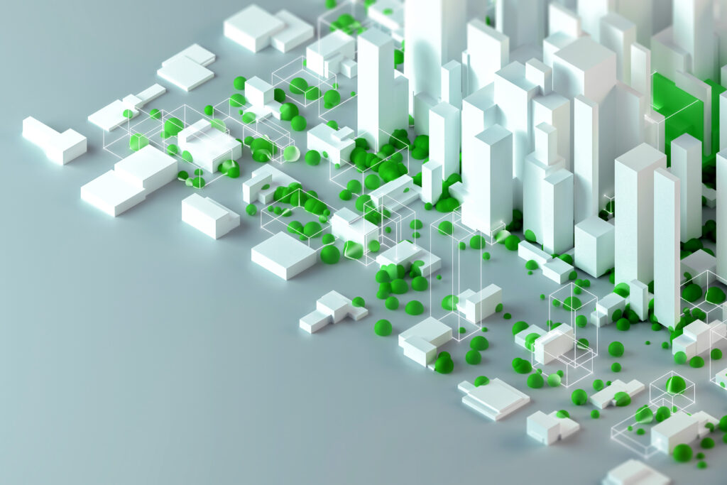
Urban planning and construction have been revolutionized by advancements in geospatial data analysis. Leveraging sophisticated techniques and technologies, professionals can now make more informed decisions, optimize resource allocation, and ensure sustainable development. This article delves into the role of advanced geospatial data analysis in urban planning and construction, exploring its applications, benefits, and future trends.
The Role of Geospatial Data in Urban Planning
Understanding Geospatial Data
Geospatial data refers to information that describes objects, events, or phenomena with a location on or near the surface of the Earth. It is typically represented through coordinates and topological data and includes attributes such as elevation, population density, and land use.
Applications in Urban Planning
Geospatial data is crucial for various aspects of urban planning, including:
- Land Use Planning: Identifying suitable areas for residential, commercial, and industrial development based on spatial data analysis.
- Infrastructure Development: Planning the layout and construction of infrastructure such as roads, utilities, and public services by analyzing current and future needs.
- Environmental Impact Assessment: Assessing the potential environmental effects of development projects to ensure sustainable and eco-friendly urban growth.
For an in-depth understanding of how geospatial data is utilized in urban planning, refer to the U.S. Geological Survey’s Geospatial Data resources.
Advanced Techniques in Geospatial Data Analysis
Geographic Information Systems (GIS)
GIS technology is fundamental to geospatial data analysis. It allows for the collection, storage, analysis, and visualization of geographic data. GIS applications in urban planning include:
- Spatial Analysis: Examining spatial relationships and patterns to inform planning decisions.
- Visualization: Creating detailed maps and 3D models to visualize proposed developments and their impact on the environment.
For more on GIS technology, Esri’s GIS Software is a comprehensive resource.
Remote Sensing
Remote sensing involves collecting data from satellite or airborne sensors to monitor and analyze the Earth’s surface. Applications in urban planning include:
- Land Cover Classification: Identifying different land cover types and changes over time.
- Urban Heat Island Analysis: Detecting areas with higher temperatures due to urbanization, which can inform mitigation strategies.
NASA’s Remote Sensing Tutorial provides extensive information on this technology.
Benefits of Geospatial Data Analysis in Construction
Enhanced Project Planning
Geospatial data analysis allows construction professionals to:
- Site Selection: Evaluate multiple potential sites to determine the most suitable location for a project.
- Risk Assessment: Identify and mitigate potential risks such as natural hazards and soil instability.
Efficient Resource Management
Optimizing resource allocation is critical in construction. Geospatial analysis helps in:
- Materials Management: Planning the transportation and storage of construction materials to minimize waste and reduce costs.
- Labor Allocation: Ensuring that the right amount of labor is deployed where needed most efficiently.
For insights into the integration of geospatial data in construction, the National Institute of Building Sciences offers valuable resources.
Future Trends in Geospatial Data Analysis
Integration with IoT
The Internet of Things (IoT) is set to transform geospatial data analysis by enabling real-time data collection from interconnected devices. This can enhance the monitoring and management of urban environments and construction projects.
Artificial Intelligence and Machine Learning
AI and machine learning algorithms are increasingly being applied to geospatial data to uncover patterns and insights that were previously unattainable. These technologies can significantly enhance predictive modeling and decision-making in urban planning and construction.
For an overview of future trends, check out Geospatial World.
Conclusion
Advanced geospatial data analysis is a game-changer for urban planning and construction. By leveraging sophisticated tools and techniques, professionals can enhance project planning, optimize resource management, and ensure sustainable development. As technology continues to evolve, the integration of IoT, AI, and machine learning will further revolutionize the field, offering unprecedented opportunities for innovation and efficiency.
For further reading, consider exploring authoritative resources such as the American Planning Association and the Urban and Regional Information Systems Association.
